
The best time to visit Barbados: February and March
The best time to visit Barbados is a practical choice rather than a promise of particular weather. For Carlisle Bay, February and March are worth considering because they are comparatively dry in the official climate normals. The bay lies beside Bridgetown on the southwest coast, but the climate table used here comes from Charnocks in Christ Church. It describes a broader seasonal pattern rather than conditions at your chosen patch of sand.
Use that pattern to choose travel dates, then make separate decisions about each day on the water. A comparatively dry month can still have rain, and a favourable monthly temperature says little about waves at a boat's departure time. Leave room in your plans to respond to local advice instead of making every activity depend on an unchanged sailing schedule.
If the main aim is time afloat, compare the catamaran options before choosing which day to reserve. For a visit centred on the shore, the beach-day guide separates public access from booked beach services. These are different choices even when they share the same weather outlook.
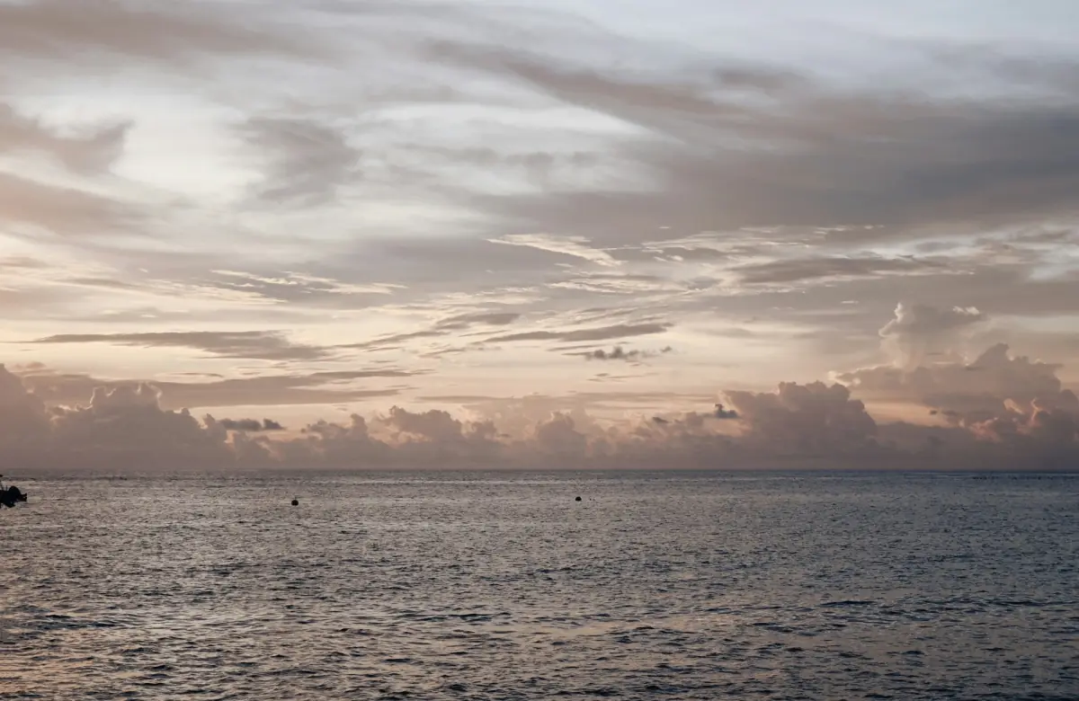
A day on the water
This five-hour sail includes snorkeling and a buffet lunch; check the conditions for your chosen date.
Hand-picked tours, booked through Viator. Prices are indicative starting prices in US dollars (as of November 2026). Tap a tour for live availability and the current price in your currency.
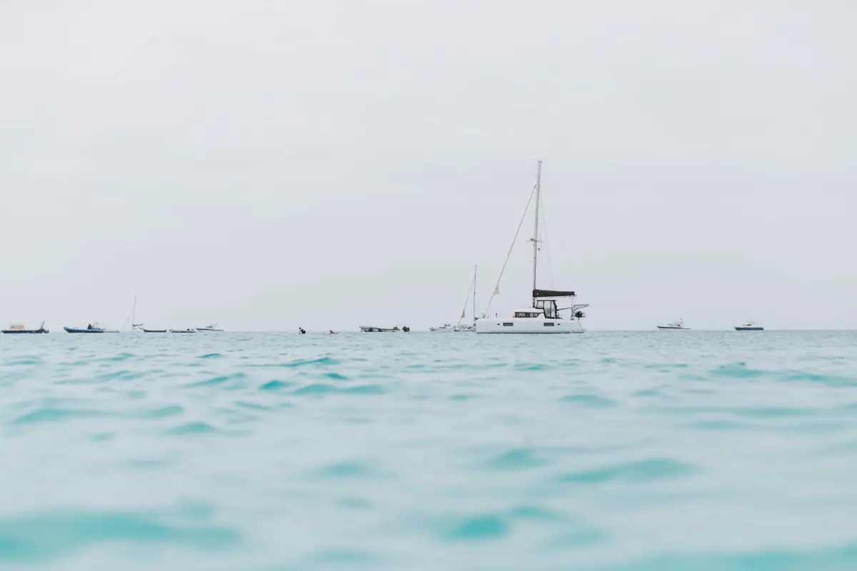
A daytime catamaran option for your water day
The five-hour Carlisle Bay catamaran cruise includes snorkeling, buffet lunch, an open bar and pickup and return at selected hotels. Plan around current sea conditions and the sailing arrangements for your date.
Charnocks climate normals for 1991 to 2020
Barbados Meteorological Services publishes these historical normals for Charnocks, Christ Church. The maximum and minimum columns are monthly means of daily high and low temperatures. Rainfall is the mean monthly total. These figures are neither temperature records nor a forecast for an upcoming stay. They also do not measure the water temperature, underwater visibility or rainfall at Carlisle Bay itself.
| Month | Mean high °C | Mean low °C | Rainfall mm |
|---|---|---|---|
| January | 29.1 | 23.3 | 68.1 |
| February | 29.2 | 23.0 | 41.7 |
| March | 29.7 | 23.4 | 38.9 |
| April | 30.2 | 24.2 | 58.1 |
| May | 30.6 | 25.0 | 74.1 |
| June | 30.7 | 25.2 | 101.2 |
| July | 30.7 | 25.1 | 121.5 |
| August | 30.9 | 24.8 | 150.6 |
| September | 31.0 | 24.8 | 162.6 |
| October | 30.8 | 24.7 | 179.6 |
| November | 30.3 | 24.5 | 172.6 |
| December | 29.6 | 23.9 | 91.0 |
February and March stand out as comparatively low-rainfall months, while October has the highest monthly rainfall value in this table. Read those comparisons as context for planning. Use a daily forecast to judge rain on a particular day and marine advice to assess a planned boat departure. Carlisle Bay weather on the day remains a separate question.
Atlantic hurricane season: 1 June to 30 November
The official Atlantic hurricane season runs from 1 June to 30 November. Tropical systems can also occur outside that period. The dates identify a seasonal risk window, not an automatic closure period for Carlisle Bay beaches or boats. Equally, travelling outside those dates should not be treated as a promise of storm-free conditions.
Keep current weather information separate from a long-term climate comparison. As the date approaches, use Barbados Meteorological Services forecasts and marine advice to guide plans. If an outing changes, follow the arrangements for that particular booking rather than assuming every boat has the same cancellation terms. The daytime catamaran option here does not include free cancellation in its booking terms.
For a short stay, avoid tying the whole visit to one fixed water activity without considering what you would do if it changes. The tour overview helps distinguish a short bay outing from a longer combination. Use that comparison to plan the shape of your day, then follow current operating advice during adverse conditions.
Sea conditions, beach flags and short-notice boat changes
Brownes and Pebbles have generally sheltered or shallow beach settings, but boat traffic remains a hazard. Follow the current beach flags and lifeguard instructions. Green indicates calm water with swimming between the flags; yellow calls for caution in moderate conditions; red means do not swim. Red-and-yellow boundary flags identify the supervised section.
An absent flag indicates a lack of current supervision, not safe conditions. A calm-looking sea in a photograph is likewise no basis for deciding to swim or snorkel. Use the local assessment and current marine advice, and allow for a boat outing to change or be cancelled at short notice when conditions require it.
Turtle sightings remain unpredictable whatever the month. Wildlife sightings vary, and a booking focused on snorkeling is still an encounter with wild animals. Do not feed or touch turtles. The snorkeling guide explains the activity choices without turning a season into a guaranteed sighting.
Questions about travel timing
Are February and March rain-free?
They are comparatively dry in the Charnocks climate normals. That historical comparison does not predict the weather for an individual beach or boat day.
Does hurricane season close the bay?
The seasonal dates are 1 June to 30 November, rather than a blanket operating calendar. Follow current warnings and the arrangements for the activity you have booked.
Can a climate table tell me whether to swim today?
Use the day's beach flags, lifeguard instructions and marine advice. Historical air temperatures and rainfall do not establish safe swimming conditions.